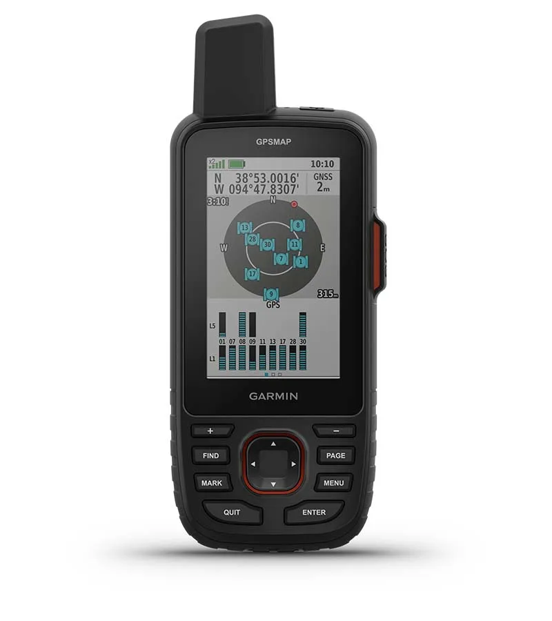
The Garmin GPSMAP 67i delivers exceptional multi-band GNSS accuracy in dense terrain and robust battery life up to 425 hours, making it a reliable tool for extended backcountry expeditions. Hikingguy found the positioning consistent within six feet even under heavy tree cover, while Treelinereview documented its endurance across various tracking modes. However, Annestravels noted that the lack of a touchscreen and highly sensitive physical buttons lead to accidental presses when stored in bags. The device also requires a paid monthly subscription for satellite messaging and features a bulky form factor that weighs 8.1 oz. This unit suits hikers who prioritize rugged durability and integrated safety over portability, while those seeking lightweight standalone messengers should look elsewhere.
Full review
Multi-band GNSS accuracy in dense terrain
Hikingguy recorded consistent positioning within six feet when operating the multi-band and multi-GNSS settings simultaneously, a performance metric that held steady even inside deep canyons and under heavy tree cover. This level of precision represents a significant departure from older handheld units that frequently exhibited route drift in these exact conditions. The device utilizes an upgraded chipset derived from Garmin's Fenix 7 line to achieve this stability, ensuring that track recordings match expected distances without the erratic behavior often seen in single-band systems.
Outdoor Tech Lab found that the multi-band GNSS support allows for faster satellite acquisition times compared to previous generations, which is critical when starting a navigation session in thick forest. While they noted slight positional drift occurred in extremely tight topographical spots, the overall reception was described as highly reliable for backcountry travel. This capability ensures that hikers can trust their breadcrumb trails and line-of-sight navigation features without constantly second-guessing their location on the 3-inch color display.
Battery longevity across tracking modes
Treelinereview documented a maximum battery life of 165 hours when utilizing inReach tracking at standard 10-minute intervals, providing substantial endurance for multi-day expeditions without requiring frequent recharges. The internal lithium-ion cell expands this capability significantly when power conservation is prioritized; the device reaches up to 425 hours in Expedition mode with inReach enabled and climbs to an impressive 840 hours when running in pure Expedition mode without satellite communication active.
Hikingguy averaged approximately 140 hours of operation during trail testing while keeping multi-band positioning, activity recording, and Bluetooth connectivity engaged simultaneously. In a simplified GPS-only configuration, the battery life extends past the 200-hour mark, demonstrating that users can tailor power consumption to match their specific navigation needs.
Integrated Iridium satellite communication
The GPSMAP 67i consolidates full-featured two-way texting, location sharing, and interactive SOS capabilities into a single handheld unit using the dependable Iridium global network. Outdoor Tech Lab verified that this integrated system allows users to send and receive text messages from anywhere on the planet without relying on cellular infrastructure or pairing with a smartphone. This consolidation eliminates the need for hikers to carry separate navigation devices and satellite messengers, streamlining gear loads for those who require comprehensive safety features.
Kansastrailguide emphasized that accessing these communication functions requires an active paid subscription plan, which ranges from $11.95 to $99.95 per month depending on the selected service tier. All plans include unlimited preset messages and SOS alerts directed to emergency services, but users must budget for this recurring cost alongside the hardware purchase. The device features a dedicated, covered SOS button on the side of the chassis designed to prevent accidental activation while still allowing rapid access during genuine emergencies.
Physical dimensions and rugged construction
The physical chassis measures 2.5 inches wide by 6.4 inches tall with a depth of 1.4 inches, creating a substantial profile that fits securely in a hand but occupies considerable space in a pocket or small bag. This size is driven by the inclusion of the larger color screen and internal battery required to support the extensive feature set.
Despite its weight, Treelinereview confirmed that the unit meets MIL-STD-810 military standards for thermal, shock, and water resistance. The IPX7 waterproof rating ensures the device can withstand accidental submersion in up to 3 feet of water for 30 minutes without damage. Outdoor Tech Lab reported that this rugged construction held up well during hikes in rough terrain and rainy weather, providing peace of mind regarding durability against drops and environmental exposure.
Button navigation and interface quirks
Annestravels highlighted that the complete absence of a touchscreen forces users to navigate menus and type messages using physical buttons, which presents a steep learning curve for those accustomed to modern smartphone interfaces. The device relies on up-and-down arrow keys to scroll through soft keyboards, making text entry slow and cumbersome compared to touch-based alternatives found in Garmin's Montana line. This interface choice prioritizes durability and glove-friendly operation but sacrifices convenience during quick data entry tasks.
The same reviewer reported that the physical buttons are highly sensitive and easily triggered unintentionally when the device is stored inside a camera bag or backpack pocket. To mitigate this issue, Annestravels utilized a specialized mounting accessory to keep the GPS attached to an external strap rather than loose in a container. Additionally, Shop.talkytoaster.me.uk noted that Garmin removed USB mass storage mode in favor of MTP protocol only, which complicates data transfers on macOS systems and requires third-party software like OpenMTP or AndroidFileTransfer for manual file management.
Mapping capabilities and file formats
The device ships with preloaded TopoActive maps covering broad geographic regions, supplemented by the ability to download high-resolution satellite imagery via Wi-Fi. Outdoor Tech Lab found that these mapping features provide clear terrain details on the 3-inch screen, aiding significantly in route planning and off-trail navigation.
Annestravels pointed out that the device exclusively exports activity tracks as FIT files rather than the traditional GPX format used by many older mapping applications. This change in native file output requires users to employ external converters like GPS Visualizer if they need standard GPX compatibility for sharing routes with third-party platforms. The interface also reclassified historical 'tracks' into 'activities,' a terminology shift that can confuse long-time Garmin users attempting to manage their route libraries.
Strengths
- +Multi-band GNSS provides consistent sub-10-foot accuracy, even in deep canyons and heavy tree cover (Hikingguy)
- +Integrated Iridium satellite network enables two-way texting, location sharing, weather updates, and interactive SOS without a smartphone
- +Long battery life reaches up to 165 hours with tracking enabled at 10-minute intervals and over 400 hours in expedition mode (Treelinereview)
- +Rugged build meets MIL-STD-810 standards for shock resistance and IPX7 waterproofing, allowing submersion up to 3 feet
Watch-outs
- −No touchscreen; navigation relies entirely on physical buttons which can be accidentally pressed in bags (Annestravels)
- −Requires a paid monthly subscription plan to activate satellite messaging and SOS features
- −Large, bulky form factor makes it significantly heavier than dedicated standalone satellite messengers
How it compares
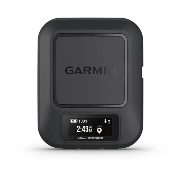
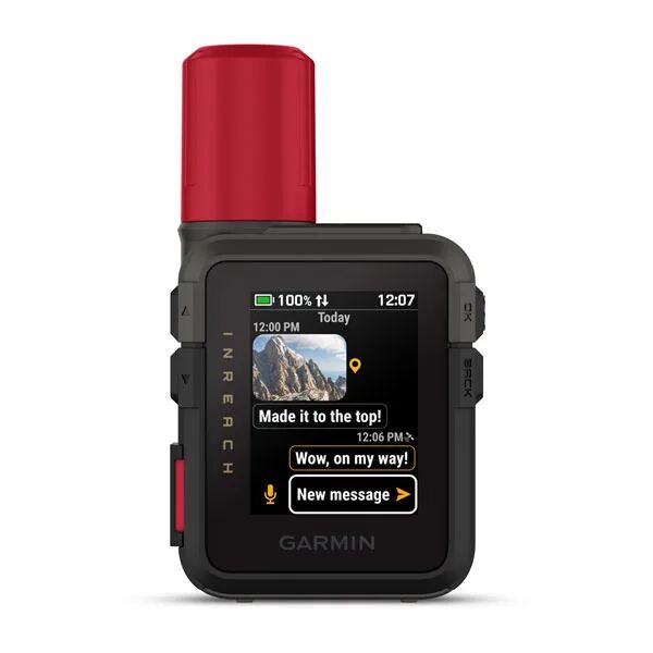
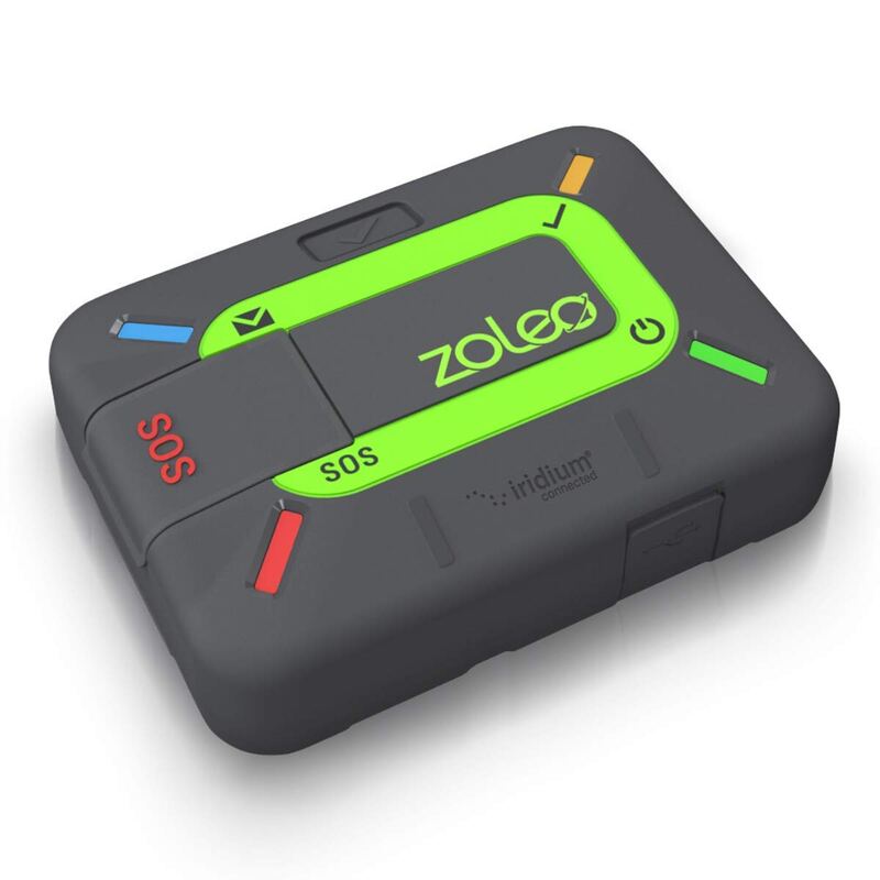
The Garmin GPSMAP 67i has a 3-inch color screen and button controls for standalone navigation, while the Zoleo Satellite Communicator has no screen. At 8.1 oz it is nearly twice the weight of the 4.4 oz Garmin inReach Mini 3 Plus.
Rating sources
Counts as 4.36/5 in our score — this publisher's 149 scores on the site average 3.69, so its scores are adjusted up to compare fairly with other publishers.
“The best handheld GPS with inReach right now.”
“Garmin’s GPSMAP 67i is simply the best all-around handheld GPS satellite communication device we’ve tested.”
Our 4.4 score is the average of the 1 scored review above, each adjusted for how strictly its publisher scores; 6 more reviewed it without printing a score and are not in the average. More about methodology.